Remote Sensing Australia
Urban vegetation monitoring
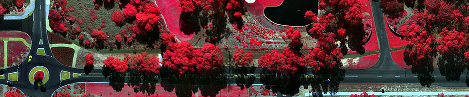
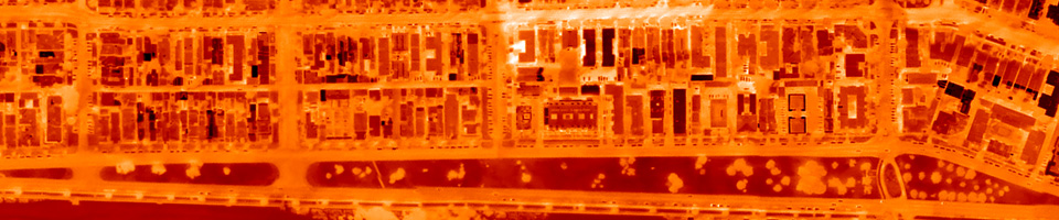
Airborne multispectral imagery is the safest and most cost-effective method of measuring and monitoring vegetation health. However the outstanding advantage of our remote sensing system is change detection: we are able to detect fine changes in vegetation health across wide areas, from parks, to suburbs, to entire local government areas (LGAs). Our sensors can even identify individual tress and shrubs. This means that every new tree that has been planted, or every existing tree that has died, can be detected.
Roll your mouse over the image below to see changes that have taken place in the 12 months between the acquisition of these images.
Our vegetation health monitoring services have a range of different applications, such as:
- Monitoring every single tree across an entire LGA, for asset tracking and management
- Assisting arborists or ecologists to undertake urban vegetation surveys
- Correlating urban vegetation health to other environmental factors, such as global climatic changes
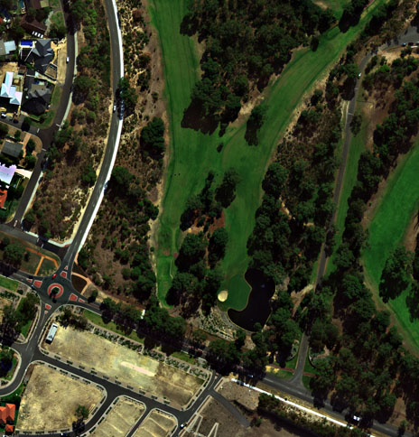
- Monitoring vegetaion health on golf courses and sports grounds to ensure appropriate watering regimes
Please click here to download an information sheet, or contact us for more information.