
Remote Sensing Australia
Urban heat island mapping
Since early 2012, and working under the Spatial Scientific banner, Remote Sensing Australia (RS-Aus) has been supporting urban heat island studies for a number of local government organisations.
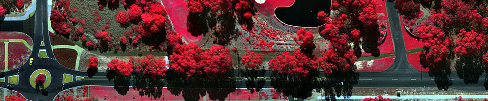
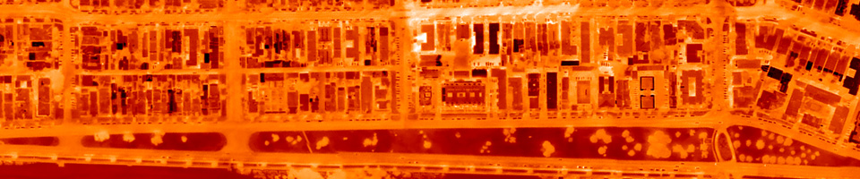
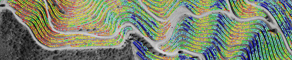
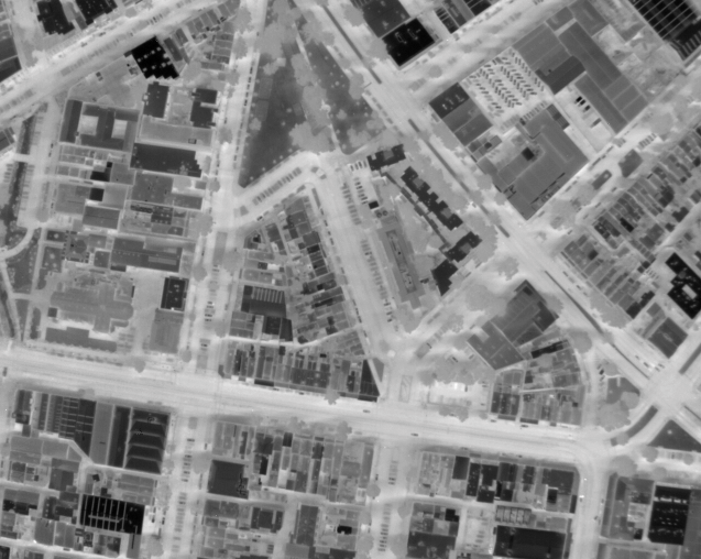
Airborne thermal imagery is the ideal tool for urban heat island mapping. It is possible to identify regions which are hotter or cooler than expected mean temperatures; see where heat is being retained or lost; and understand temperature change between daytime and night time. This information is essential in the planning of new infrastructure and urban vegetation programmes.
By using its in depth knowledge of airborne remote sensing, RS-Aus has successfully developed its own unique method of acquiring and processing airborne thermal image data. As a result, image data can be acquired over large areas, and mosaicked into continuous, seamless orthoimages. Throughout the processing, the radiometric integrity of the data is maintained, ensuring that pixels in the imagery can be correlated to ground temperatures.
An information document can be downloaded from here.
Previous and current customers include:
- City of Wyndham, Victoria
- City of Port Phillip, Victoria
- City of Melbourne, Victoria
- City of Geelong, Victoria
- City of Parramatta, New South Wales
As more and more cities around the world begin to use airborne thermal imagery regularly for their environmental monitoring programmes, RS-Aus is excited to make this technology available to Australian towns and cities.
Please contact us for more information.