
Remote Sensing Australia
Airborne thermal imaging
Remote Sensing Australia is a leading supplier of airborne thermal imagery in Australia. Being an authorised reseller and integrator of FLIR thermal sensors (the world leader in thermal imaging), we have access to the complete range of FLIR thermal technologies. Since we also build our own imaging systems, and write our own software, we have the capability to tackle almost any airborne thermal imaging project.
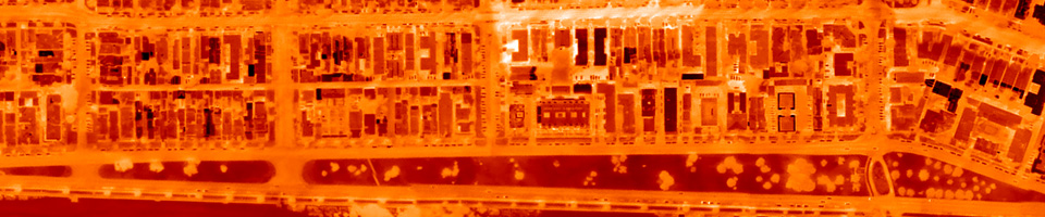
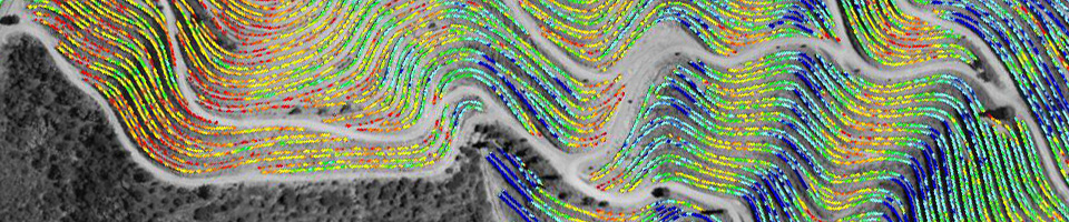
Airborne thermal imaging sensors are used to create georeferenced maps that can be directly correlated with temperature, enabling the creation of accurate "heat maps".
Thermal imaging is suitable for a range of different mapping projects, including:
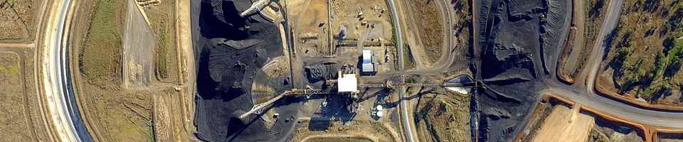
- spontaneous combustion and underground fire mapping for the mining industry
- urban heat island mapping
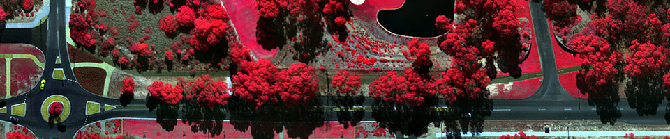
- environmental monitoring and vegetation health assessment
- feral animal surveys
- bushfire mapping, monitoring and management
- mineral exploration
Please contact us for more information.