Remote Sensing Australia
Multispectral remote sensing
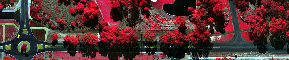
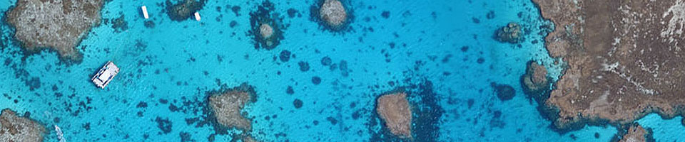
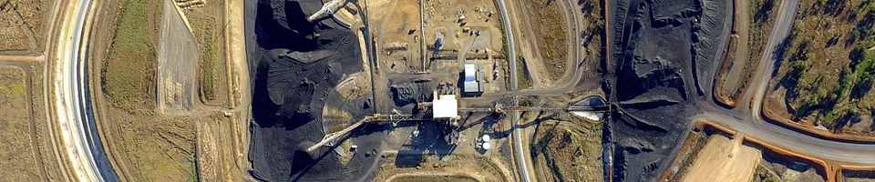
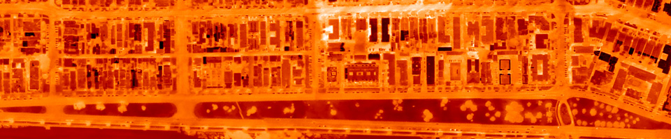
Remote Sensing Australia offers high quality, high spatial resolution, four band multispectral imagery from Australia's industry-leading SpecTerra digital multispectral sensor. This sensor has a long history of successful data acquisition in Australia and overseas. It delivers outstanding results for a range of applications, including:
- vegetation health monitoring
- precision agriculture
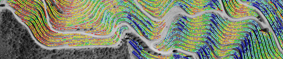
- mine mapping and rehabilitation
- forestry (rural and urban)
- coastal zone mapping
Click here for a document describing in detail how multispectral imaging can be used to support vegetation monitoring in the mining industry.
SpecTerra imagery is unrivalled as a high-quality management tool for mapping and monitoring variations in vegetation status and health. Images acquired months or even years apart can be precisely aligned with each other, meaning that all changes in vegetation health, however small, can be identified and quantified.
But sometimes high quality image data is not enough: many users require software tools to assist with the interpretation of the image data. As a result, we can also provide simple-to-use remote sensing software applications, which will help with deriving knowledge from the image data.
Finally, Remote Sensing Australia can also assist with interpretation of multispectral data, providing detailed and in-depth reports on the status of vegetation health. Where necessary, we can supply a complete end-to-end solution.
Please contact us for more information.